Float
Book Online
Book Your Float Today
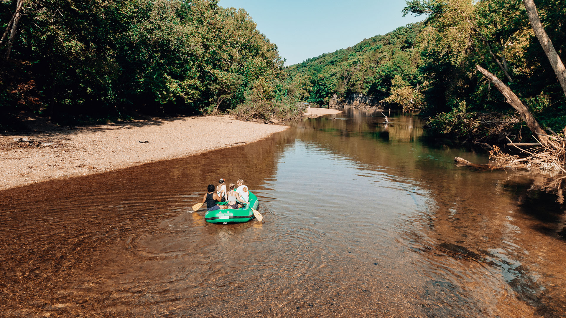
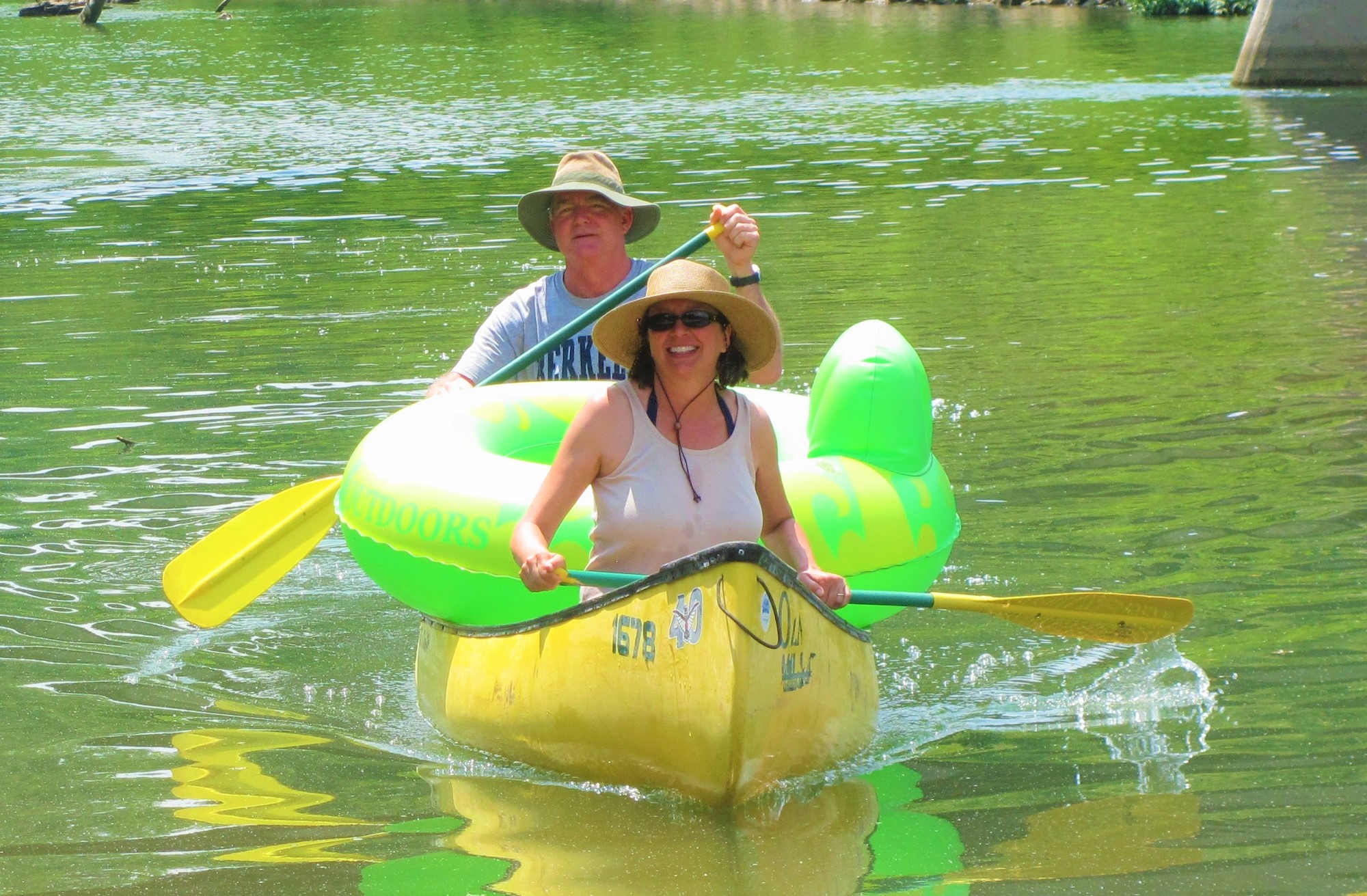
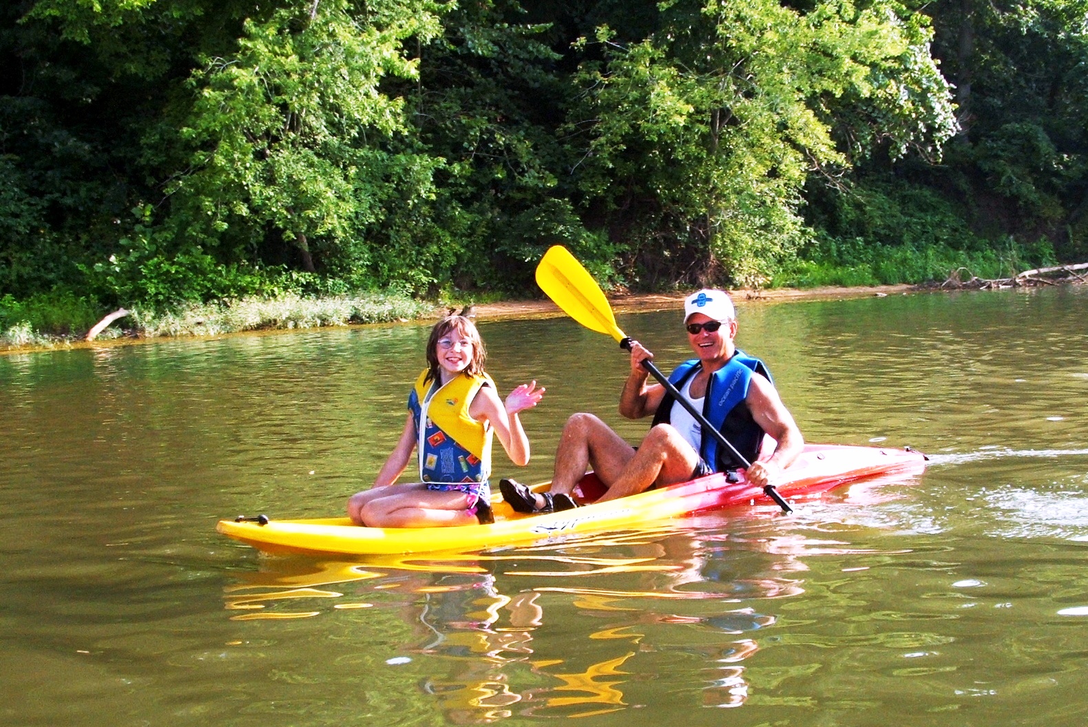
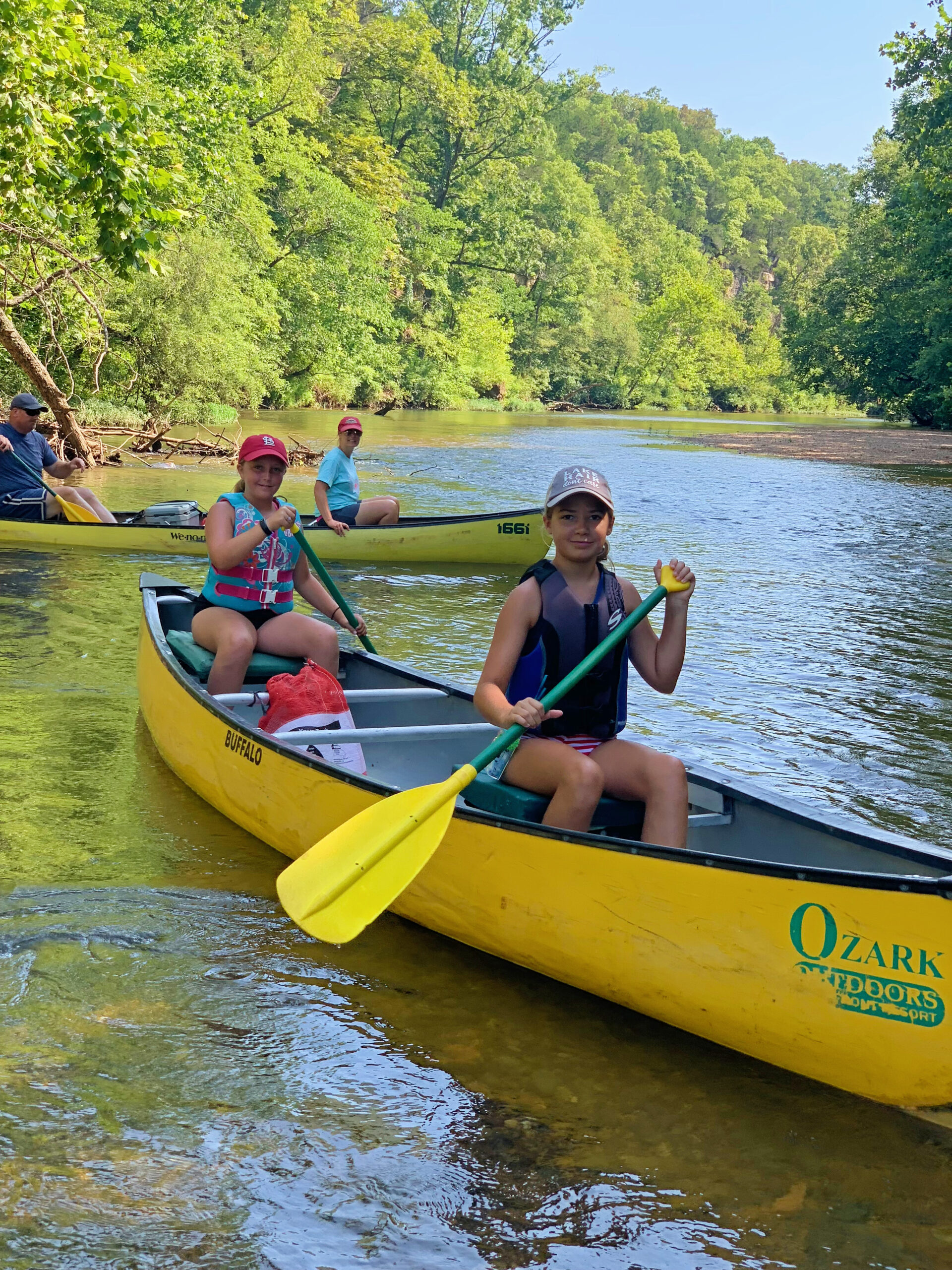
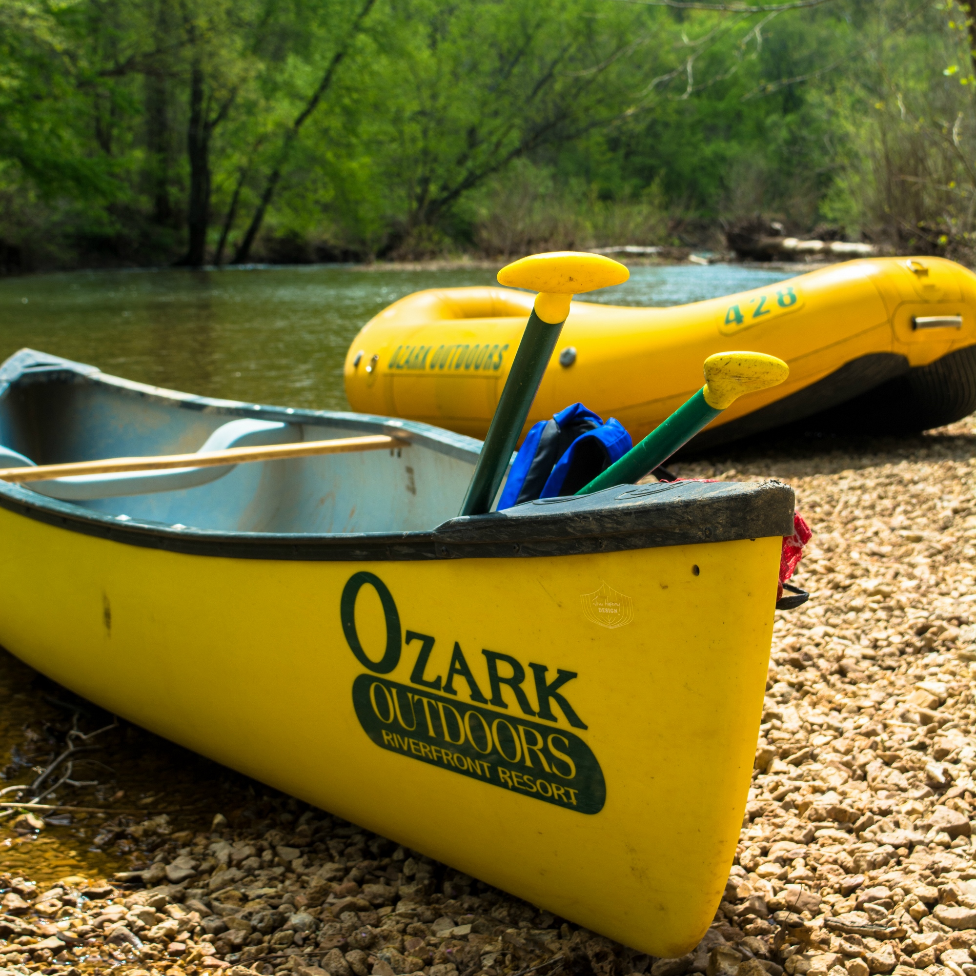
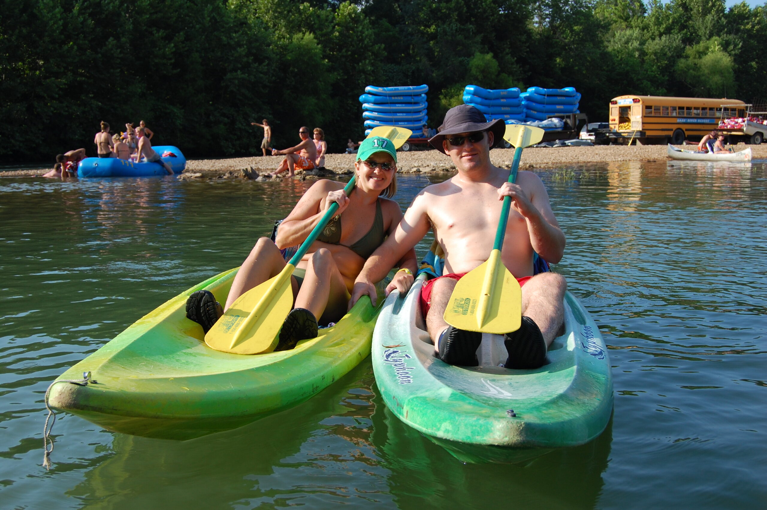
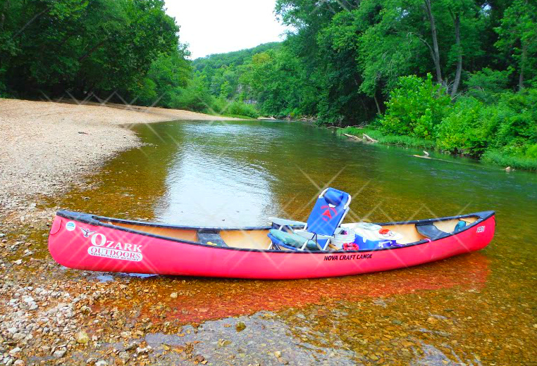
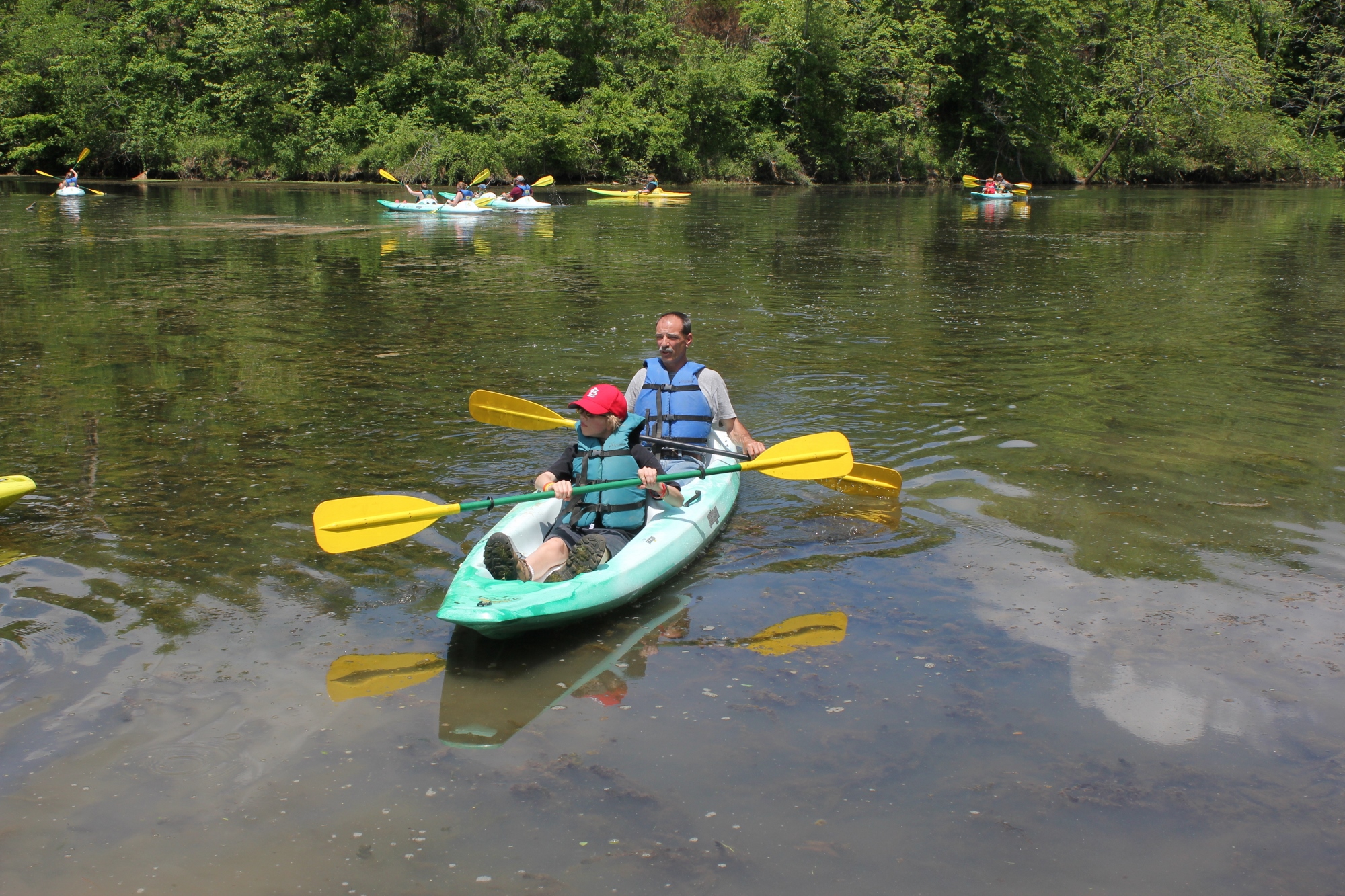
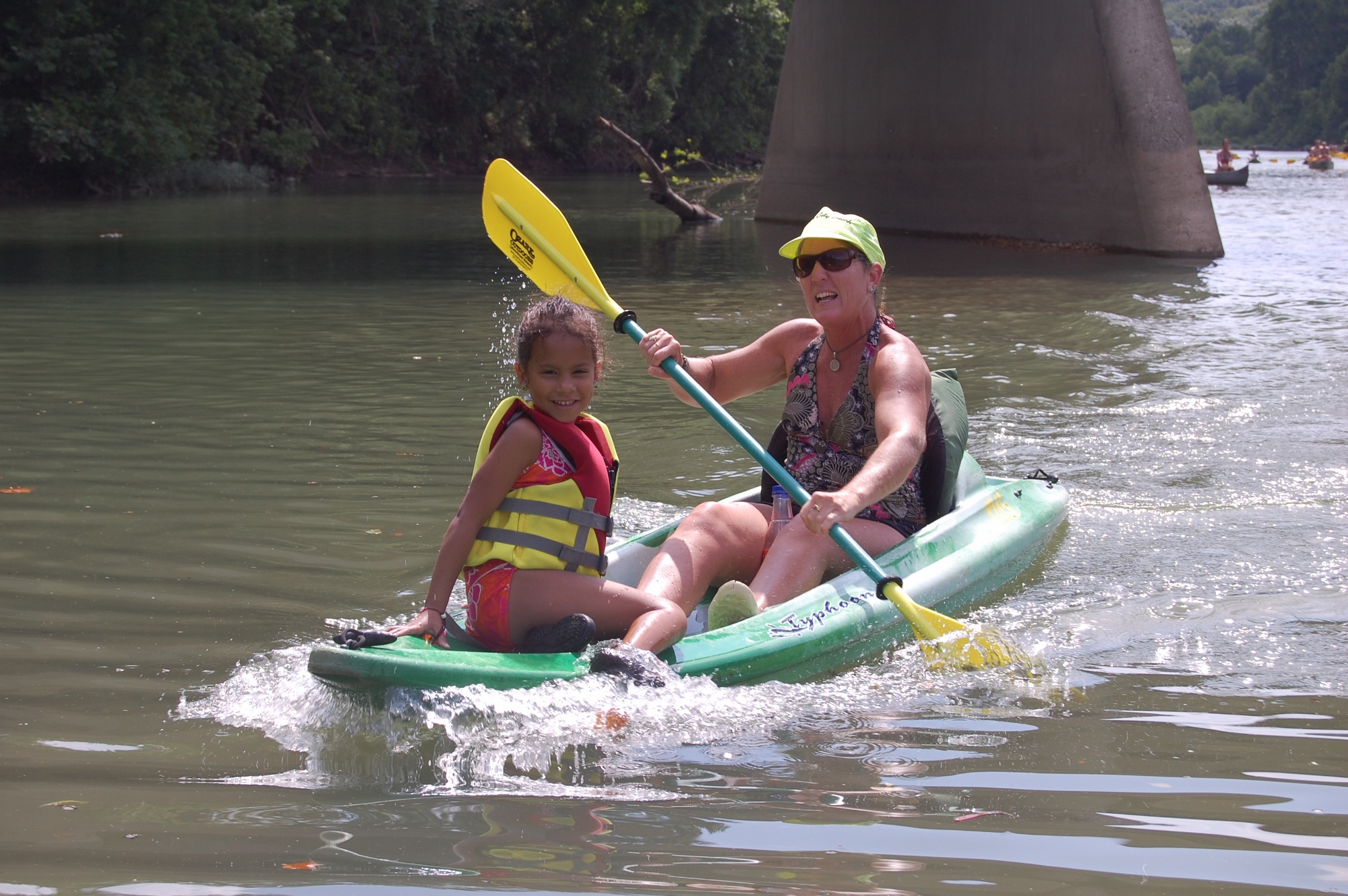
Canoes, kayaks, rafts, and river tubes, we’ve got everything you need to hit the water!
- Rafting
- Tubing
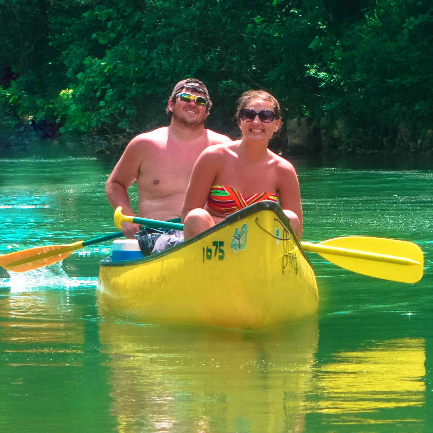
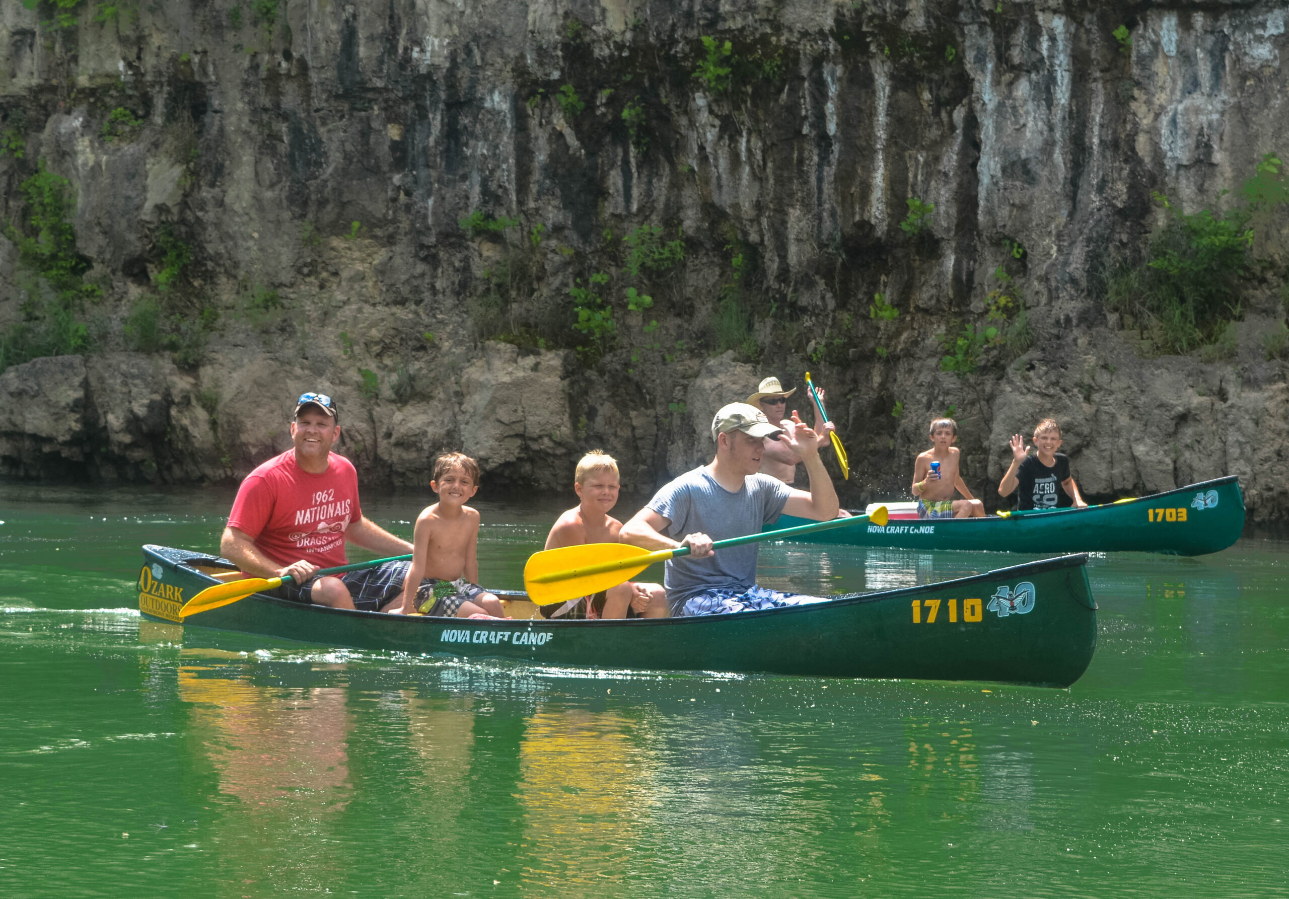
- Canoeing
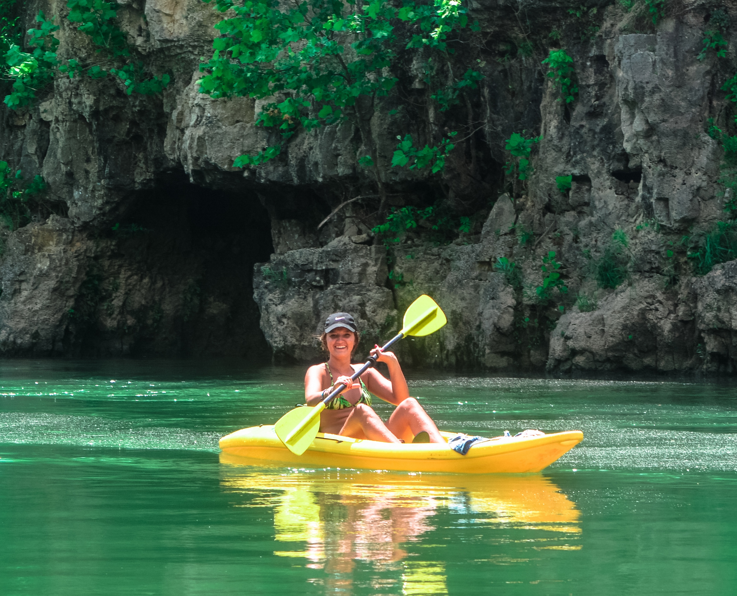
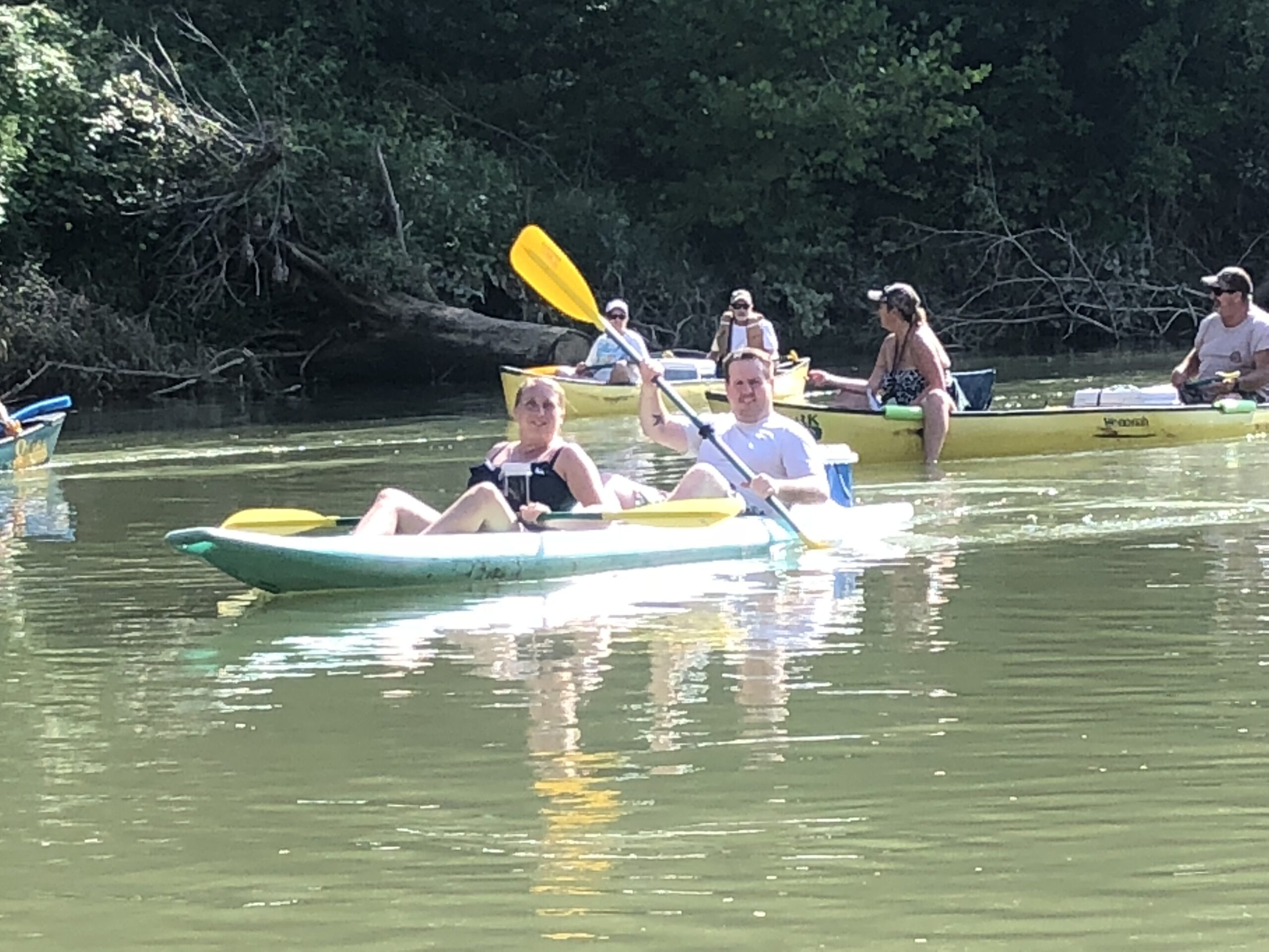
- Kayaking
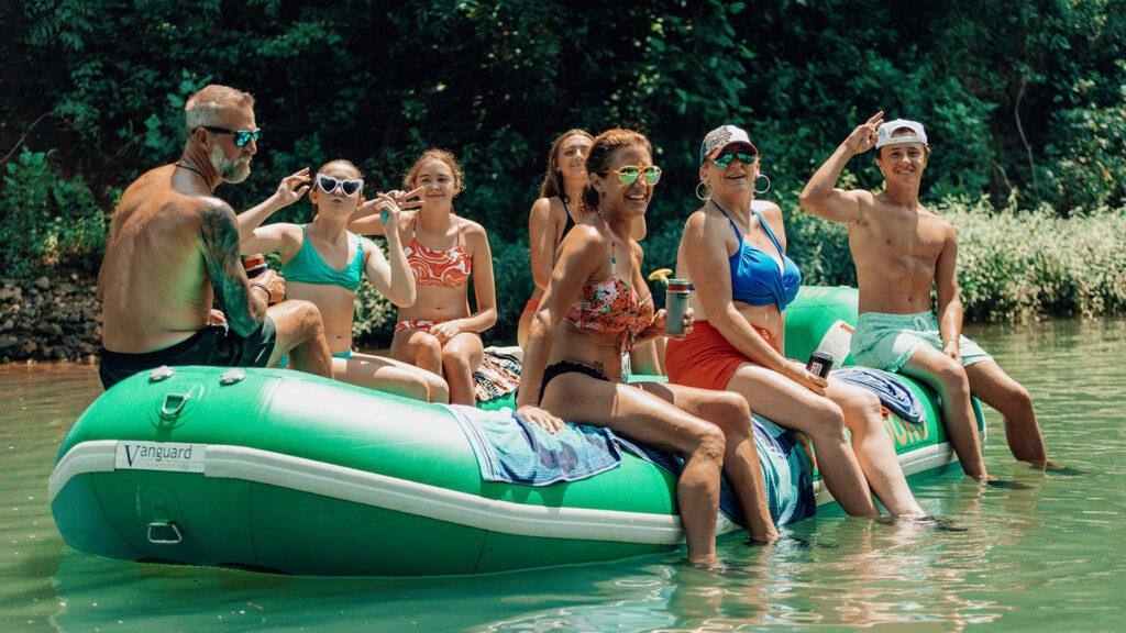
Built For Crews
Rafting
- Group fun
- 4/6/8/10 person rafts
- 3 Trips
Ultimate Lazy Drift
Tubing
- Family-friendly
- Loop or longer run
- 3 Trips
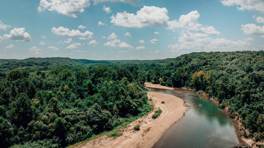
Classic River Teamwork
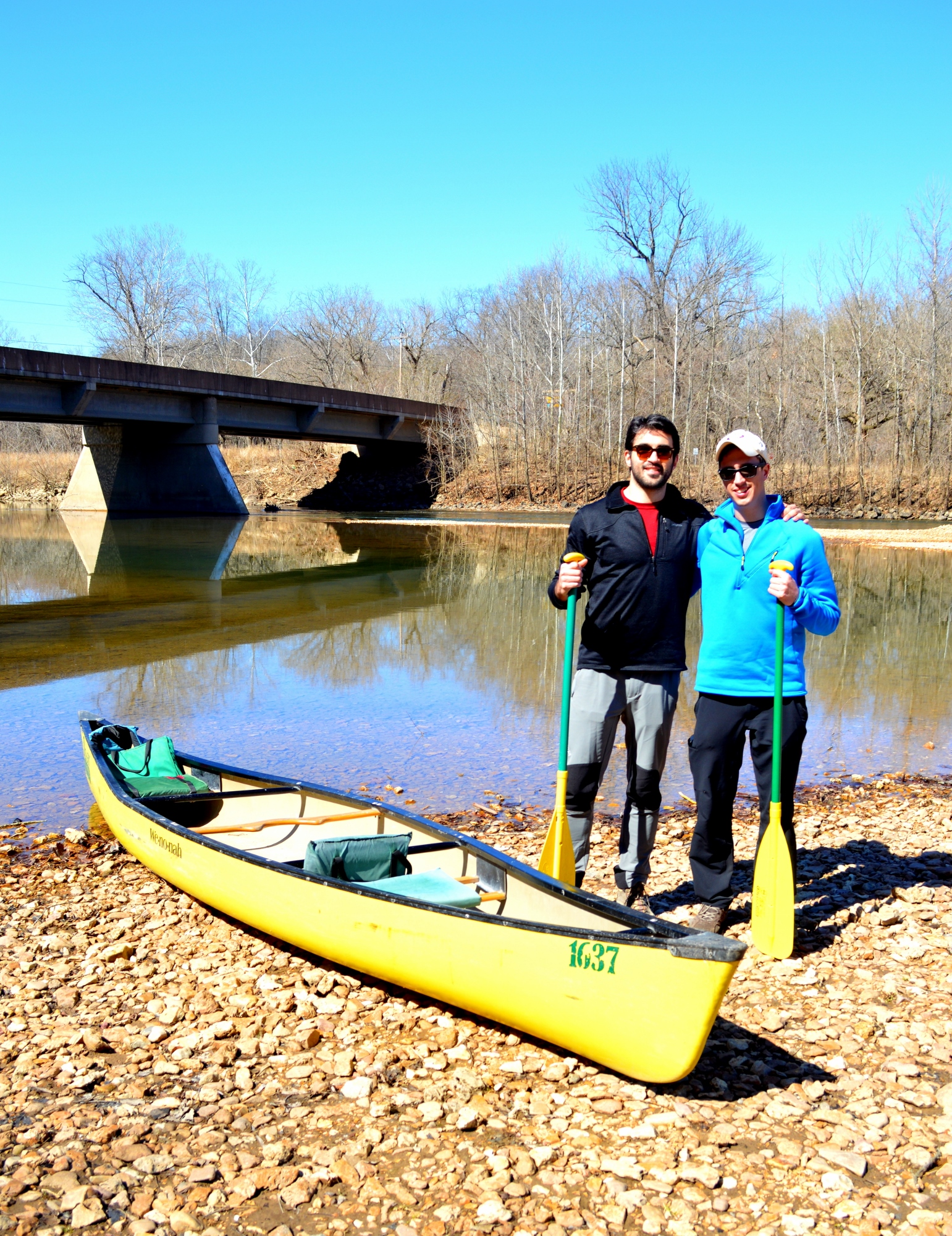
Canoeing
- Perfect for Pairs
- 2-3 person
- 5 Trips
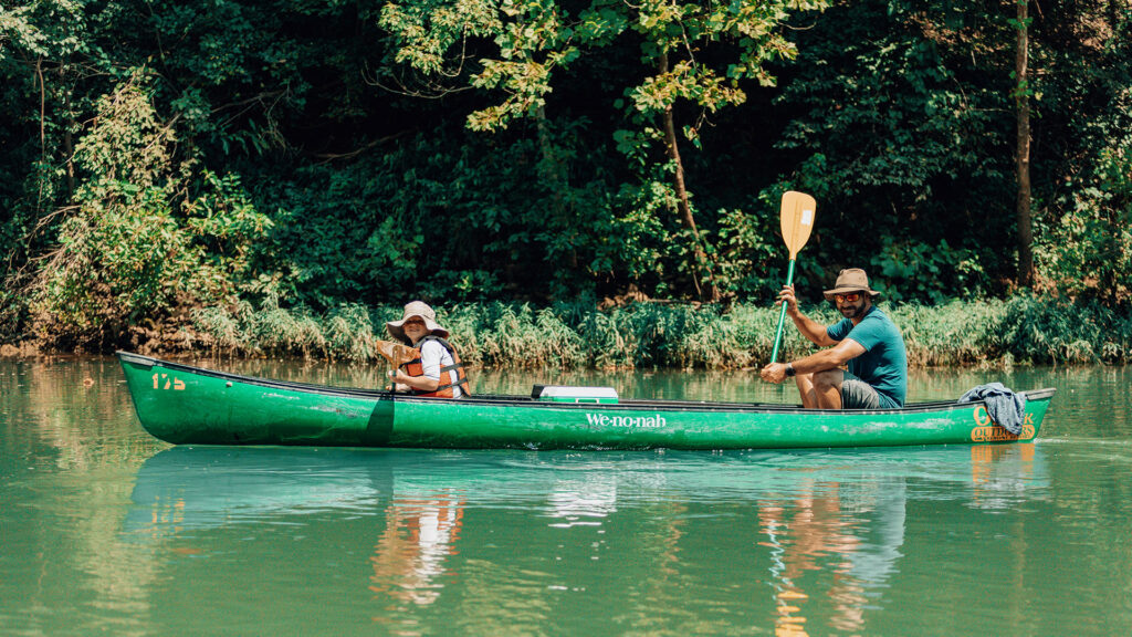
Single-Paddler Freedom
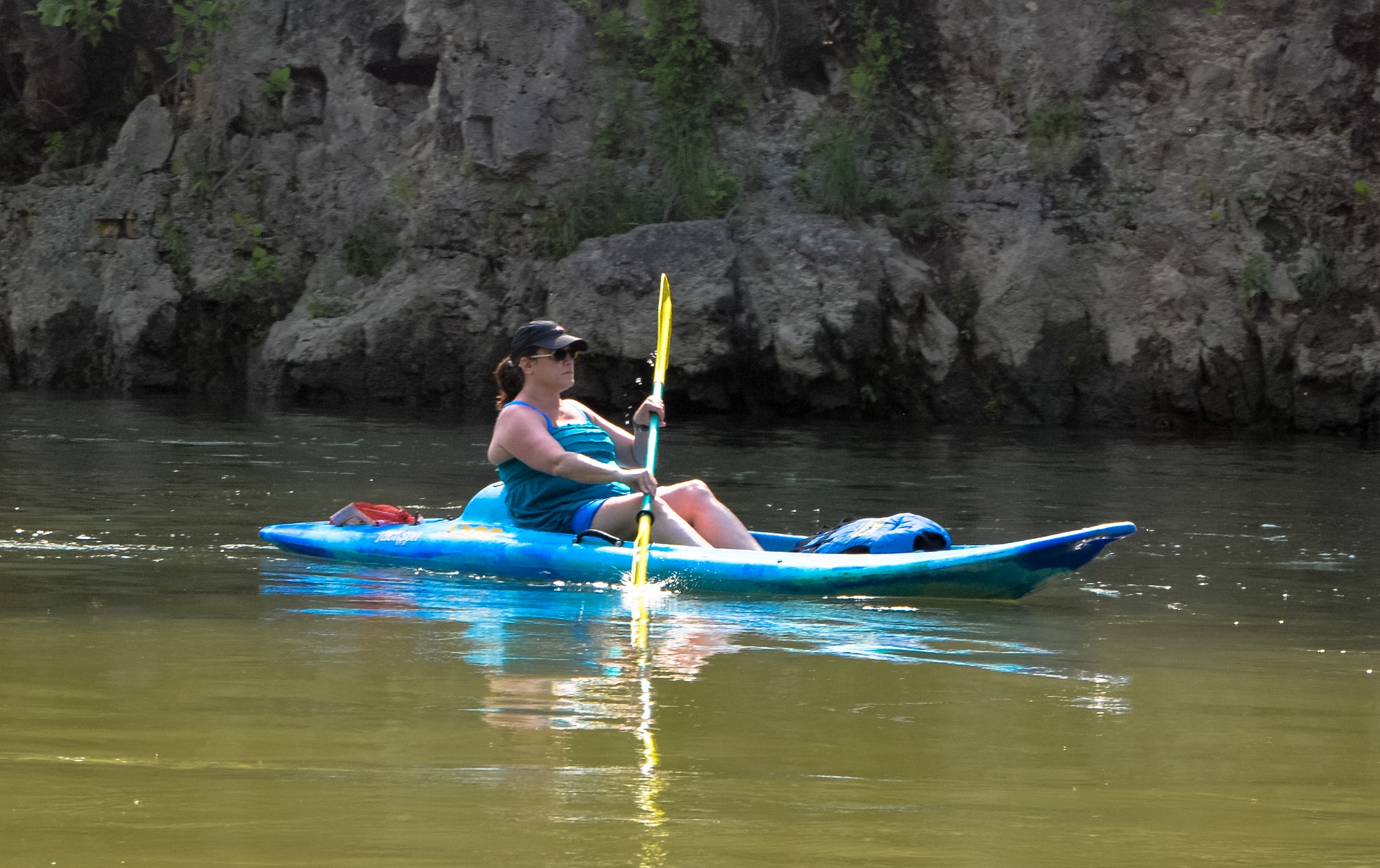
Kayaking
- Glide Solo
- 5 Trips
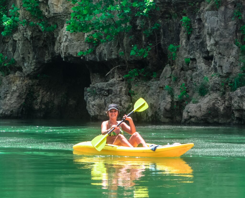
On the Water
Compare Float Routes
Six routes across the Meramec, Huzzah and Courtois. Not every craft runs every route — here is what launches where.
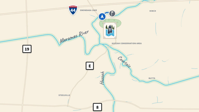
Tube Loop
Closest to the resort
- Craft River tube only
- Season May – September
- Trip length All day, shuttle runs hourly
- Distance 1 mile loop
- Water Meramec, beach to beach
- Rental includes the shuttle, or book Shuttle Only and bring your own
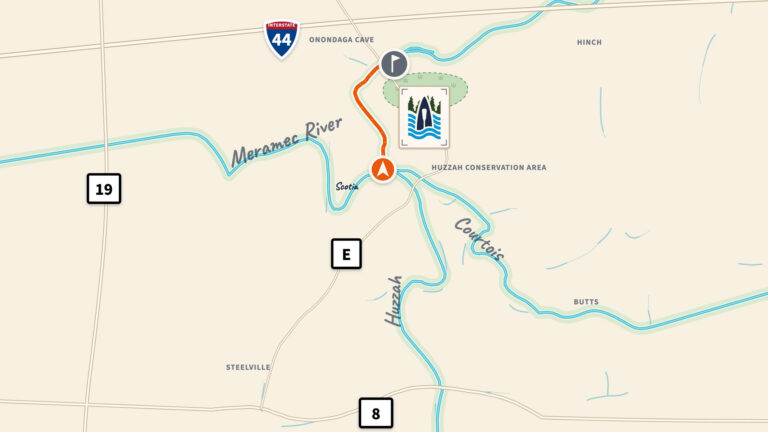
Scotia
Every craft we rent
- Craft Canoe, kayak, raft, tube
- Season July – October
- Trip length 4 – 5 hours
- Distance 4 miles
- Water 2 mi Huzzah, then 2 mi Meramec
- Tubes stop at 12pm
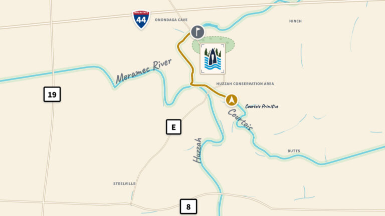
Courtois Primitive
Every craft we rent
- Craft Canoe, kayak, raft, tube
- Season March – June
- Trip length 4 – 5 hours
- Distance 5 miles
- Water Courtois, Huzzah, then Meramec
- Tubes stop at 12pm
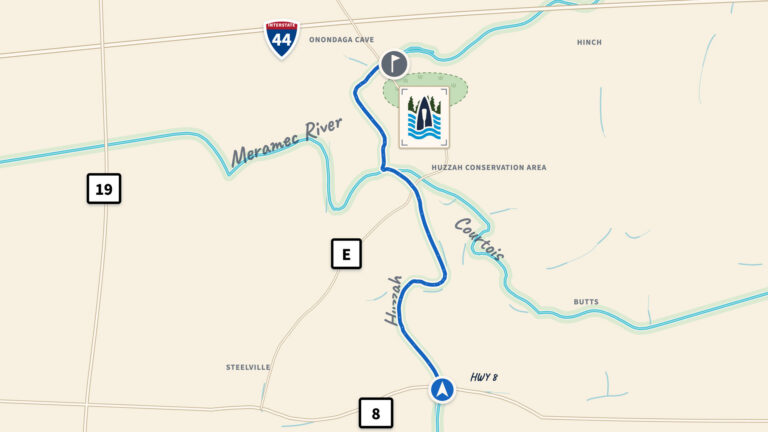
HWY 8
Canoe & kayak only
- Craft Canoe & kayak only
- Season Year Round
- Trip length 5 – 6 hours
- Distance 10 miles
- Water 8 mi Huzzah, then 2 mi Meramec
- No rafts or tubes on this route
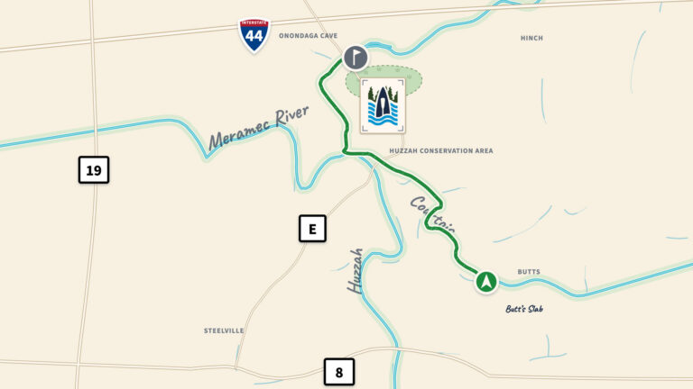
Butt’s Slab
Canoe & kayak only
- Craft Canoe & kayak only
- Season Year Round
- Trip length 5 – 6 hours
- Distance 10 miles
- Water Courtois, Huzzah, then Meramec
- No rafts or tubes on this route
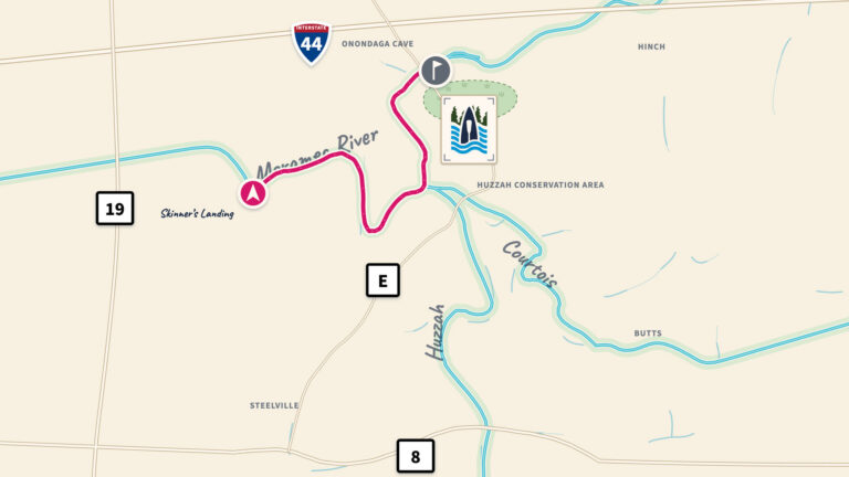
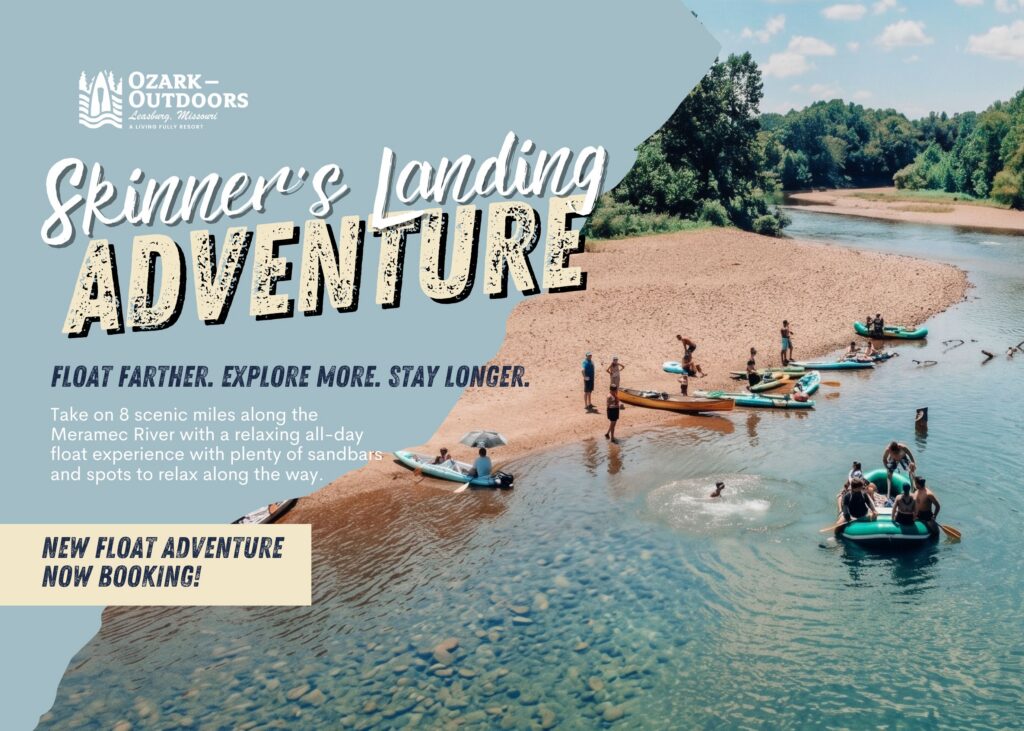
Skinner’s Landing
New for 2026
- Craft Canoe, kayak, raft
- Season May 1 – September 14
- Trip length 5 – 8 hours, rafts about 8
- Distance 8 miles
- Water Meramec
- No river tubes on this route
All float trips and craft/boat type availability are based on management discretion determined by craft availability, user experience, and river levels. Check current river levels before you head out, then call the resort (573-245-6837) to confirm your trip is running.
Rental includes paddling gear, cushions, and Coast Guard approved PFDs for most children ages 2 to 11 years old. If you have a child under the age of 2, or if you are concerned about an appropriate fit, please bring a personal floatation device for your child with you. PFDs are available for youth 12 and over, and adults, upon request. Please ask your driver before the van or bus leaves our property.
In our efforts to help the eco-system, trips leave on top of the hour unless posted otherwise.
All floating guests must sign a liability waiver and get a float ticket to go on the river.
Canoes, kayaks, rafts & tubes on the Meramec, Huzzah & Courtois
On the Water
Current River Conditions
Huzzah Creek near Steelville, MO
2.56 ft Steady
- Hwy 8
- Scotia
- Butts Slab
- Courtois Primitive
Pack shoes you can swim in, a dry bag for your phone and keys, and more water than you think you need.
River levels are live USGS readings, not a float forecast. A high reading doesn’t always mean we’re off the water, and a low one doesn’t always mean we’re on it.
Call us at 573-245-6837 before you drive.
Meramec River at Cook Station, MO
2.03 ft Steady
Pack shoes you can swim in, a dry bag for your phone and keys, and more water than you think you need.
River levels are live USGS readings, not a float forecast. A high reading doesn’t always mean we’re off the water, and a low one doesn’t always mean we’re on it.
Call us at 573-245-6837 before you drive.
Meramec River near Steelville, MO
1.27 ft Steady
- Skinner’s Landing
Pack shoes you can swim in, a dry bag for your phone and keys, and more water than you think you need.
River levels are live USGS readings, not a float forecast. A high reading doesn’t always mean we’re off the water, and a low one doesn’t always mean we’re on it.
Call us at 573-245-6837 before you drive.
Meramec River near Sullivan, MO
2.99 ft Steady
- Tube Loop
- Blue Springs 10-mile
- Blue Springs 5-mile
- BSR Tube Loop
Pack shoes you can swim in, a dry bag for your phone and keys, and more water than you think you need.
River levels are live USGS readings, not a float forecast. A high reading doesn’t always mean we’re off the water, and a low one doesn’t always mean we’re on it.
Call us at 573-245-6837 before you drive.
Ready to hit the river?
Book your float trip and make a day of it on the water.